- Home
- /
- Traveling the CT
- /
- Collegiate East/...
The first major expansion of The Colorado Trail since its completion in 1987 came in 2012 when approximately 80 miles of the Continental Divide National Scenic Trail on the western side of the Collegiate Peaks were added to the CT’s total mileage, increasing it (altogether) from 485 to 567. The result is a spectacular alternative to the CT’s original route on the eastern side of the Collegiates.
But that’s not all. Together, the Collegiate East and Collegiate West routes create what is now known as the CT Collegiate Loop, a 160-mile circuit that is becoming increasingly popular with hikers looking for a great multiday trip, but don’t have the time for the CT’s full 485 thru-miles.
The northernmost point of the Loop is along Twin Lakes Reservoir, southwest of Leadville, and the southernmost point is south of Monarch Pass, which is west of Salida near the midpoint of the CT.
Loop hikers can park at access points anywhere along the East or West routes, starting and ending at the same point, thus eliminating the need to shuttle vehicles. Several good resupply points lie along or near the Loop, including Twin Lakes Village, Buena Vista, Mount Princeton Hot Springs, Monarch Pass, and Salida.
An additional attraction for those taking either the East or West routes is the proximity to more than a dozen Fourteeners (peaks above 14,000 feet) in the Sawatch Range, which include the Collegiate Peaks. That includes direct access from the Trail to Mounts Yale, Princeton, Antero and Shavano, and Tabeguache Mountain (from the Collegiate East) and Huron Peak (from the Collegiate West).
The entire CT Collegiate West is co-located with the Continental Divide National Scenic Trail, abbreviated CDNST or simply CDT. Background on this includes that The Colorado Trail, before the addition of the Collegiate West, had long shared 234 miles of trail with the CDNST. After the Continental Divide Trail Alliance, which oversaw the building and maintenance of the CDT, dissolved in early 2012, The Colorado Trail Foundation responded to a request from the U.S. Forest Service and agreed to provide CTF volunteer stewardship on approximately 80 additional Collegiate West miles as well as to add this scenic alternative to the heart of The Colorado Trail. With this addition, in all now, CTF volunteers proudly maintain about 314 miles of the CDNST. This great stewardship work is done in partnership with both the Continental Divide Trail Coalition and the U.S. Forest Service.
South- and northbound hikers have a decision to make once they reach Twin Lakes in the north and the South Junction (Fooses Creek Turnoff) south of Monarch Pass: Collegiate East or Collegiate West. Here are some details on each to aid in that decision:

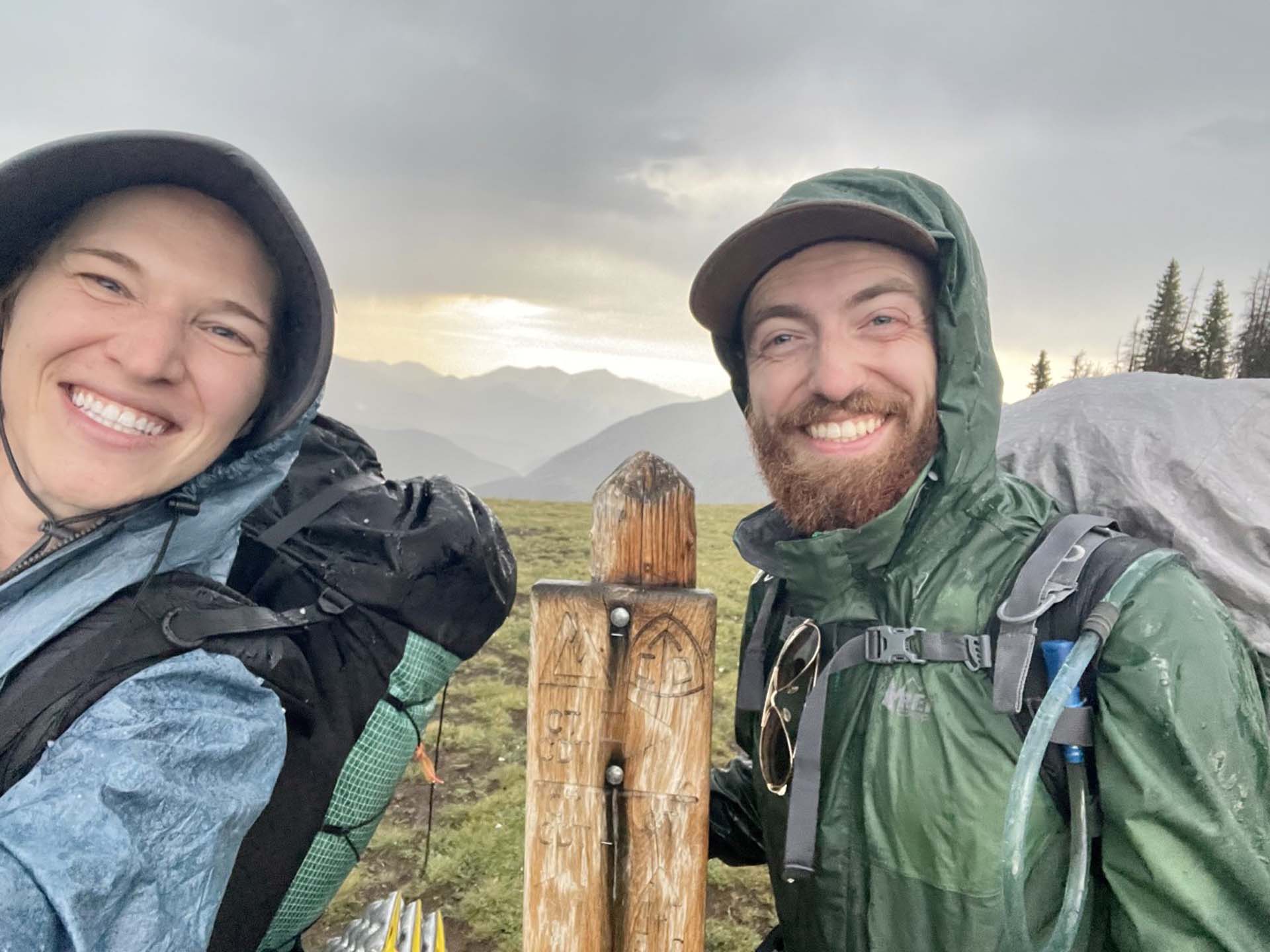
At this sign, the Collegiate East and Collegiate West routes separate.
Collegiate West; five segments:
- CW01 – Twin Lakes to Sheep Gulch, 9.9 miles
- CW02 – Sheep Gulch to Cottonwood Pass, 25.9 miles
- CW03 – Cottonwood Pass to Tincup Pass Road, 16.1 miles
- CW04 – Tincup Pass Road to Boss Lake Trailhead, 16.9 miles
- CW05 – Boss Lake Trailhead to Ridge above South Fooses Creek, 16.0 miles
Total: 84.8 miles
- Highlights: Hope Pass, Lake Ann and Lake Ann Pass, Tunnel Gulch and Alpine Tunnel Historical Railroad Site
- Elevation gain: 19,800 feet
- Higher than East route (and sometimes more exposed)
- Nearby Fourteeners: La Plata Peak and Huron Peak
- Resupply locations: Twin Lakes Village, Buena Vista, Monarch Pass, Salida
Collegiate East; segments:
- Part of Segment 11 – Twin Lakes to Clear Creek Road, 7.8 miles
- Segment 12 – Clear Creek Road to Silver Creek Trailhead, 18.7 miles
- Segment 13 – Silver Creek Trailhead to Chalk Creek Trailhead, 22.4 miles
- Segment 14 – Chalk Creek Trailhead to U.S. Highway 50, 20.8 miles
- Part of Segment 15 – U.S. Highway 50 to South Junction (Ridge above South Fooses Creek), 8.6 miles
Total: 78.3 miles
- Highlights: Harvard Lakes, Cottonwood Hot Springs and Mount Princeton Hot Springs, Chalk Cliffs
- Elevation gain: 17,800 feet
- Nearby Fourteeners: Mounts Antero, Princeton, Yale and Shavano, and Tabeguache Peak
- Resupply locations: Twin Lakes Village, Buena Vista, Mount Princeton Hot Springs, Salida
A multi-year project is underway to move those portions of the Collegiate West route still following old logging and mining roads onto single-track trail. Crews from The Colorado Trail Foundation, U.S. Forest Service, Volunteers for Outdoor Colorado, and the Southwest Conservation Corps are part of the project.
Unfortunately for mountain bikers, parts of both the Collegiate East and West routes are closed to bike traffic, including where the Trail passes through the Collegiate Peaks Wilderness Area. A convenient bike detour through Buena Vista exists for the East route, but not so for the Collegiate West, where only CW01, CW04 and CW05 are open to bike use. A detour between the south end of CW01 and the north end of CW04 is possible but inconvenient: From Sheep Gulch Trailhead go east on Forest Road 390 to U.S. Highway 24, south along U.S. 24/285 to Nathrop (or choose non-highway alternatives), and west on Forest Roads 162 and 267 to where Collegiate West crosses Tincup Pass Road.
The majority of horse riders will choose and enjoy the Collegiate East as the West route includes one section particularly challenging for stock. Experienced horse packers have reported that the ascent to Lake Ann Pass in CW02 is so rocky and precipitous that they’d choose to not travel it with their animals again.
Resources for Collegiate West available in the CT Store:
- Colorado Trail Guidebook
- CT Databook
- National Geographic Map Guide – CT Collegiate Loop
- Awesome Full-color, 18″x24″ Poster Map
Other resources
We recommend the “Far Out” Colorado Trail App by Atlas Guides LLC. It is available for iOS and Android devices.

